223-6027-23010
Project Abstract
Project Location
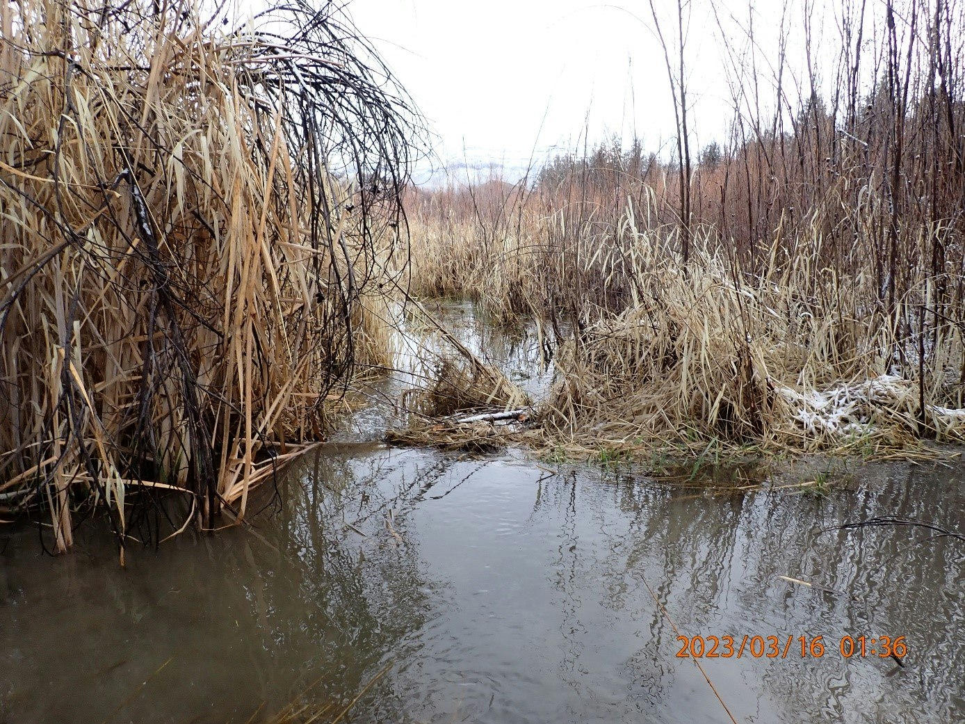
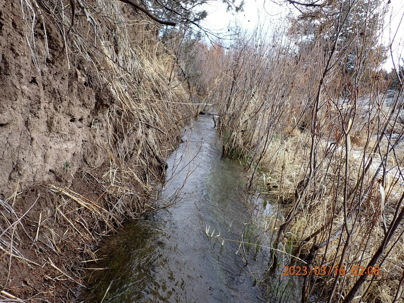
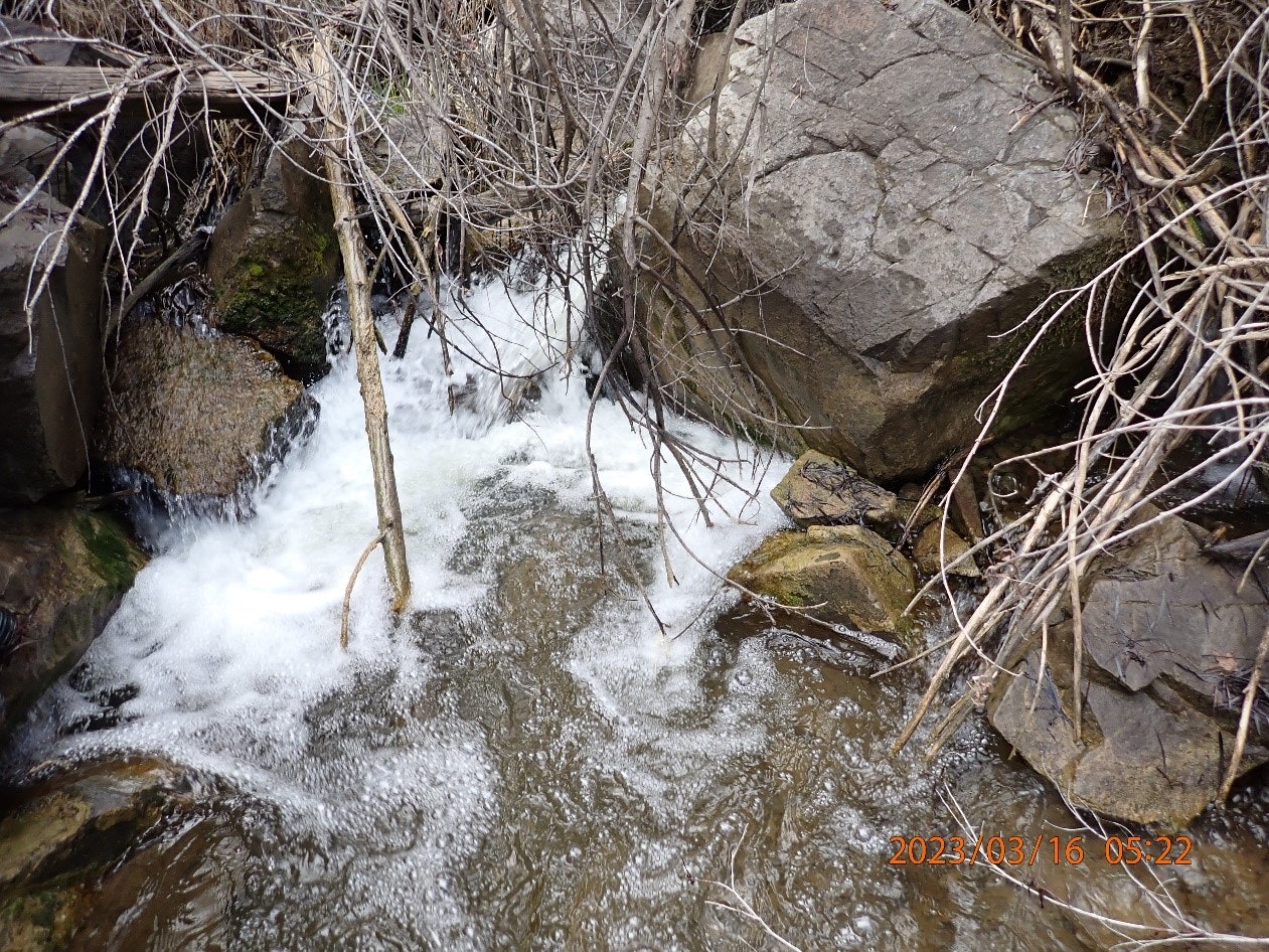
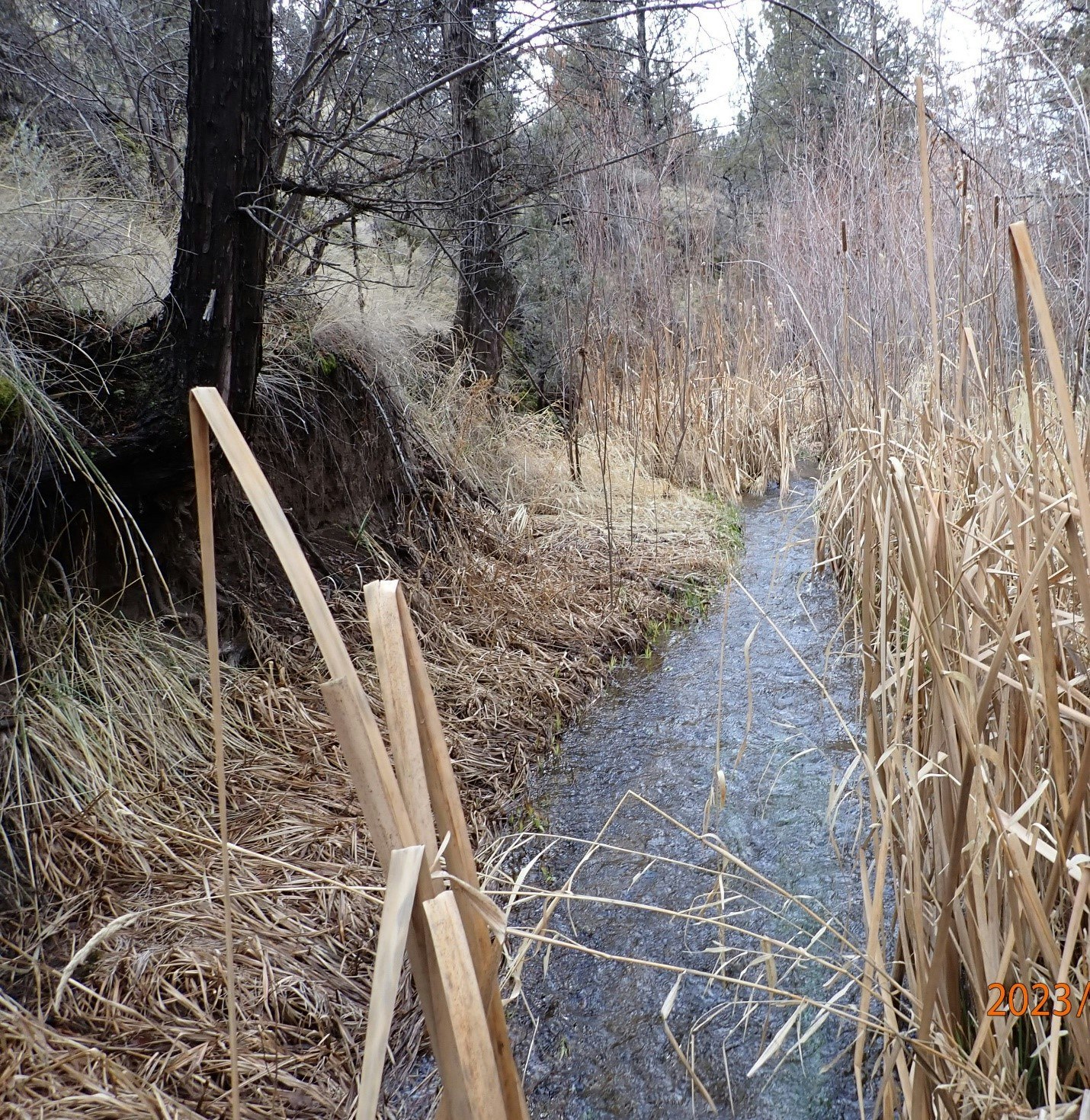
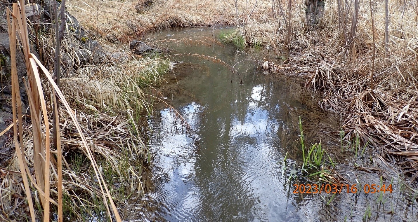
This project will take place in the subwatershed of West Branch Bridge Creek HUC 12 (170702040302), located on 10.58 miles of West Branch Bridge Creek, where West Branch Bridge Creek leaves Ochoco National Forest entering privately owned property to the confluence of Bridge Creek.
Project Need
As a result of topography and the elevation of its headwaters relative to its mouth, West Branch Bridge Creek subwatershed encompasses import climate refugia containing critical habitat for ESA listed Mid-Columbia O. mykiss and Redband Trout. Although past restortation activites towards the headwaters have improved parts of the system, the effects of channelization, floodplain degradation,and other upland problems remain. To lead into a ridgetop to ridgetop watershed restoration effort to ecologically restore the landscape; a full assessment of the system is needed.
Proposed Project Work
Despite the relative importance of West Branch Bridge Creek in maintaining water quality and anadromous fish populations, no comprehensive assessment of the watershed has yet occurred. This proposed assessment will help landowners and managers understand the current watershed conditions and how land use practices may have affected watershed conditions and functions. In addition, USFS will be contributing to part of the assessment by taking inventory of 0.94 miles of West Branch allowing this project to have data from the headwaters to the confluence. The Wheeler SWCD views the assessment as a necessary first step in systematically working towards and accomplishing restoration goals. This assessment and subsequent action plan will facilitate the planning and prioritization of future projects.
Project Partners
Project Partners include OWEB, Wheeler SWCD, ODFW AQI, USFS, and participating landowners.