220-8208-19238
Project Abstract
Project Location
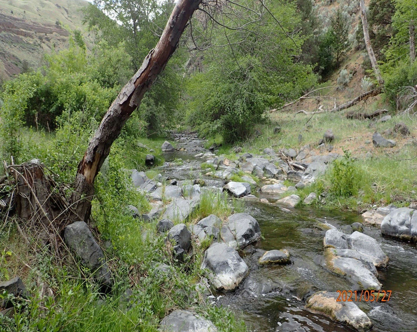
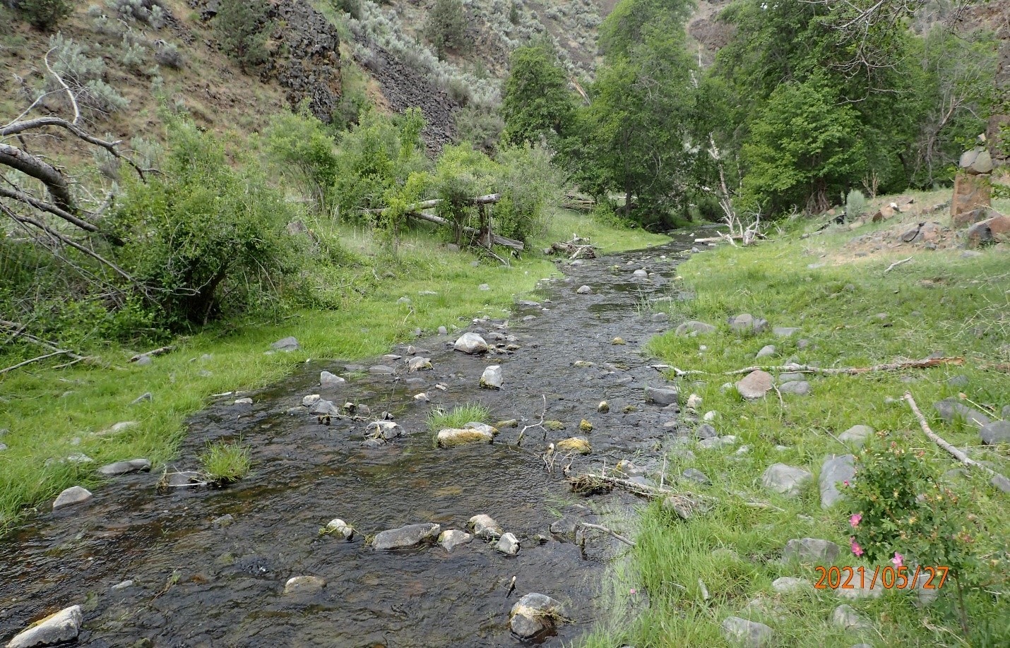
The project is located in Northeast Wheeler County, within the Butte Creek Watershed approximately 13 miles West of the town of Fossil. The 181 sq. mile watershed encompasses mostly private agricultural and rangelands within Gilliam and Wheeler Counties.
Project Need
Structural starvation (i.e., lack of woody debris and beaver dams) and channel straightening has resulted in hydraulic, topographic, and substrate homogeneity that offers little benefit to threatened salmonids. These impairments ultimately render the Butte Creek watershed a population sink for threatened steelhead, in which a high rate of returning adults produce few surviving juveniles. Seasonal surface flow limitations have also prevented the establishment and expansion of riparian and wetland vegetation within the Butte Creek riverscape. Not surprisingly, the John Day Subbasin Plan (NWPCC 2005) has specifically listed flow restoration, riparian vegetation recovery, and enhancement of channel habitat quantity and quality as being high priorities for recovery of the lower John Day Steelhead population.
Proposed Project Work
The project proposes to treat approximately 9 miles of Butte Creek with multiple series of complexes that incorporate the use of Beaver Dam Analogs and Post Assisted Log Structures commonly referred to as BDAs and PALS or Low-Tech Processed Based Restoration (LTPBR). The restoration plan is designed to promote natural fluvial processes and ultimately result in development of a dynamic aquatic ecosystem that provides benefits to the habitat within portions of Butte Creek that are used by a threatened Steelhead population (NWPCC 2005).
Project Partners
Partners include OWEB, ODF&W, Department of State Lands, Confederate Tribes of Warm Springs, NRCS, the Wheeler SWCD and two private landowners.
Project Completion Report
Final_Report_19238.pdf