223-6002-22552
Project Abstract
Project Location
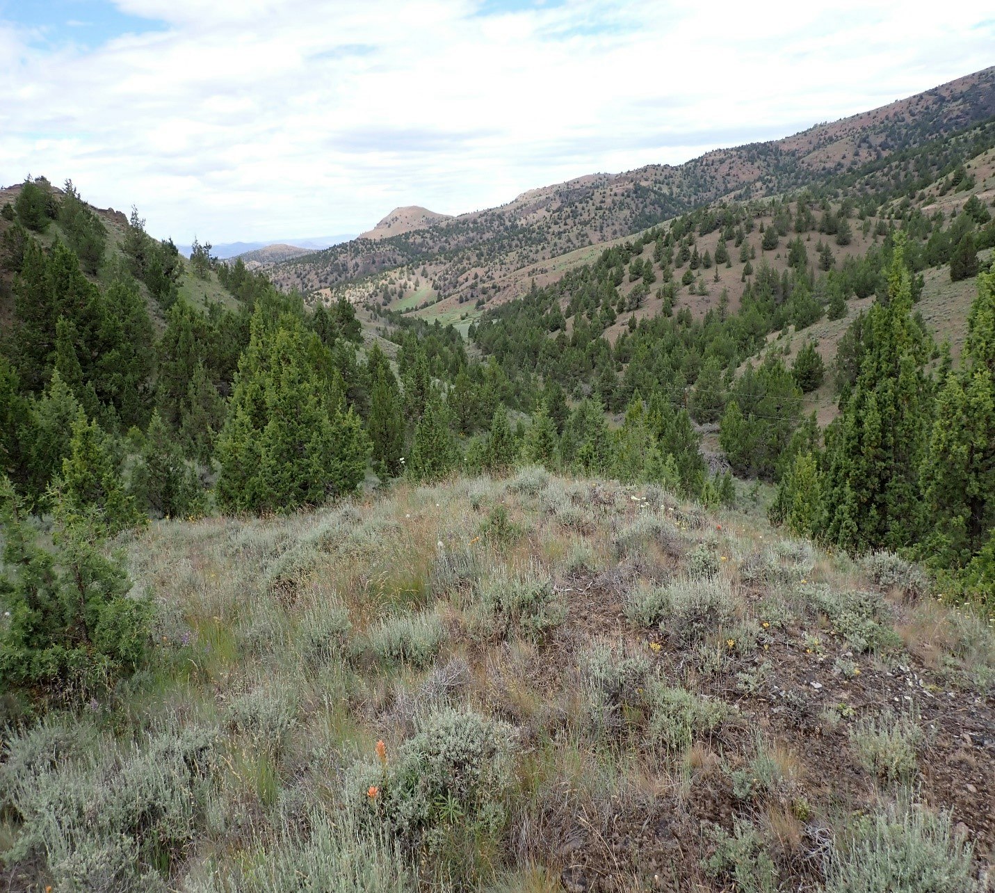
This project is located on one landowners private property in the Bridge Creek Watershed at the headwaters of Keyes Creek, approximately 5 miles east of the town of Mitchell, OR in southern Wheeler County. Keyes Creek is a direct tributary to Bridge Creek, which is listed as a high priority watershed by the Mid C Recovery Plan and the John Day Basin Partnership Atlas for restoration efforts to improve fish habitat, specifically O. mykiss.
Project Need
Increased invasive species and unlimited access for livestock in the riparian corridor has led to a loss of native vegetation resulting in disconnected floodplains and unstabilized banks increasing sediment inputs into the stream systems. The lack of upland stockwater developments on the property has resulted in Keyes Creek being the main water source for wildlife habitat, which has lead to heavy browse on the limited riparian woody species currently there and creating gullies, rills, and headcuts along the stream. Additionally, the uplands have been compromised as historic fire suppression have increased Western Juniper encroachment creating a decline in upland habitat, bunchgrass communities, Quaking Aspen stands, and ultimately reducing water quality and quantity in the Bridge Creek Watershed.
Proposed Project Work
This project proposes to address the negative impacts Western Juniper imposes by mechanically cutting and piling 115 acres, hand cutting 20 acres on slopes greater than 20%, develop 3 springs (2 of which will be combined to feed one trough) to provide stockwater sources, protect one declining Quaking Aspen stand, and apply weed treatment on disturbed areas within the mechanical treatment of Western Juniper. Additionally, Keyes Creeks that runs all the way through the property will be enrolled into the USDA FSA CREP program in 2023.
Project Partners
Project partners include OWEB, USDA FSA, Wheeler SWCD , and the landowner.


